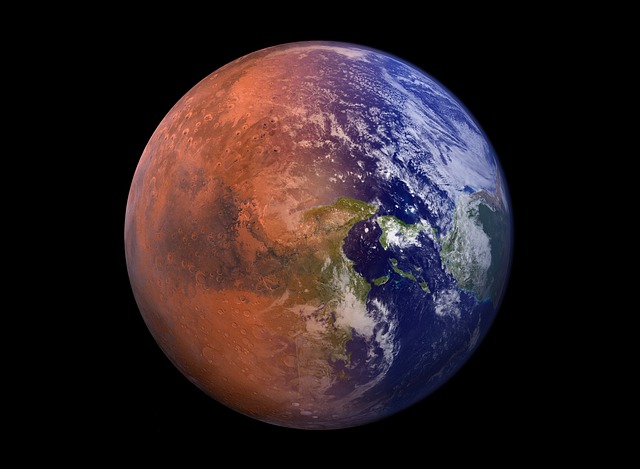
Satellites on the Climate Frontline
Satellites have become one of the most powerful tools in the global effort to understand climate change. Orbiting high above the Earth, these instruments offer a unique advantage: continuous, comprehensive, and unbiased monitoring of the planet’s vital signs.
What Satellites Track
Modern climate monitoring satellites collect a wide range of environmental data points critical for understanding and responding to climate shifts:
Sea Surface Temperatures (SST): Identifying ocean warming trends that influence weather patterns, marine ecosystems, and storm activity.
Greenhouse Gas Concentrations: Measuring levels of carbon dioxide, methane, and other emissions to evaluate human and natural contributions to climate change.
Ice Coverage and Snowpack: Monitoring polar ice melt, glacier retreat, and snow depth in key regions to assess long term water availability and sea level rise.
Accessing the Inaccessible
One major advantage of satellite surveillance is its ability to gather data from places that are difficult, dangerous, or impossible for humans to reach. This includes:
Remote ocean regions
Polar zones
Dense forests
High altitude terrains
With real time imaging and sensor data, scientists can track climate indicators with unprecedented speed and global scope, enabling faster research and quicker responses to emerging trends.
Why It Matters
By keeping a constant eye on Earth’s environmental health, satellites serve not only as watchful observers but also as early warning systems. Their contributions lay the groundwork for accurate forecasting, effective adaptation, and informed climate policy worldwide.
Boosting Forecast Accuracy
Satellites aren’t just snapping pictures from space they’re constantly transmitting streams of climate data that keep forecast models alive and evolving. Every day, these orbiting sensors measure temperature changes, atmospheric pressure shifts, moisture levels, and wind currents across the globe. That raw input feeds into advanced climate models that simulate how weather systems will behave, hours, days, or even months ahead.
The real payoff? Faster, sharper identification of extremes. Heatwaves, flash floods, drought patterns these are no longer sudden surprises. Satellite supported models help pinpoint when and where they’ll strike, buying time for local responders, governments, and farmers to act.
This accuracy means crops can be planted (or saved) more reliably. Emergency crews prepare earlier. Logistics routes shift before flooding cuts them off. For agriculture, disaster preparedness, and supply chain managers, this is more than weather it’s strategy.
Supporting Smarter Climate Responses
Reliable satellite data isn’t just a nice to have it’s a lifeline. Governments, NGOs, and researchers are leaning on space based insights to make smarter, long term decisions about everything from water supply to urban development. Climate adaptation is no longer about reacting to the latest flood or wildfire; it’s about planning for what’s likely to hit five, ten, or twenty years from now.
High resolution satellite imagery and sensor data help flag climate risk zones areas prone to sea level rise, prolonged droughts, extreme heat, or shifting storm patterns. With that intel, cities can reroute infrastructure plans, reinforce power grids, or rethink where to build housing and where not to.
These insights also shape migration policy. If a region is projected to become unlivable due to heat or water scarcity, having a head start on relocation planning based on actual data makes all the difference. For anyone working on large scale climate resilience strategies, satellites are no longer out of sight tech. They’re part of the core toolkit.
For a closer look at how data guides these responses, see climate adaptation strategies.
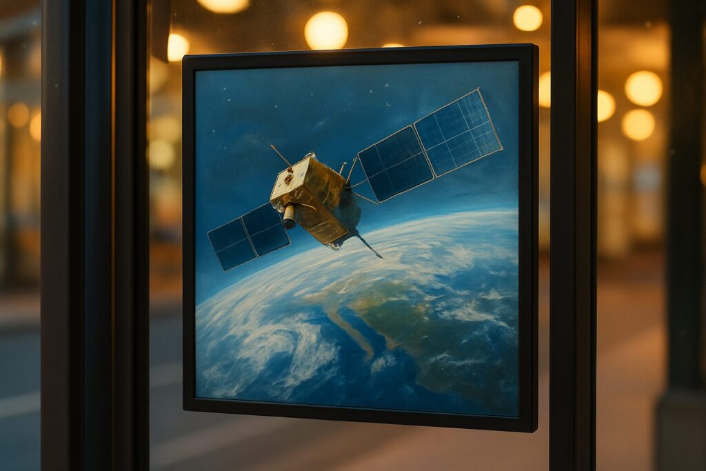
Global Collaboration in Orbit
In a rare show of global alignment, agencies like NASA (U.S.), ESA (Europe), and JAXA (Japan) are working together to track Earth’s changing climate from above. These satellites aren’t siloed projects anymore they’re part of a loose but growing mesh of international networks feeding shared climate models. The more eyes in the sky, the sharper the signal on what’s really happening at atmospheric, oceanic, and land levels.
Most of this data doesn’t live behind paywalls. Open satellite archives like NASA’s Earthdata and ESA’s Copernicus program are giving researchers, governments, and even students free access to historical and real time observations. That matters. Because climate doesn’t respect borders, and solving it depends on this kind of global transparency. Sharing tools and intelligence is the only way to sharpen forecasts and unlock faster, more coordinated responses to a warming planet.
Impact on Conservation and Policy
Eyes in the Sky: Tracking Earth’s Vital Ecosystems
Climate monitoring satellites play a critical role in observing and preserving the planet’s most threatened environments. From shrinking forests to marine biodiversity loss, satellites offer a bird’s eye view of ecological health on a global scale.
Key areas satellites track include:
Deforestation: High resolution imagery helps detect illegal logging, forest degradation, and land use changes in near real time.
Land Degradation: Soil erosion, desertification, and overuse of agricultural land are monitored to identify risk zones and guide restoration efforts.
Ocean Health: Satellites measure variables like sea surface temperature, algae blooms, coral reef changes, and pollution patterns, providing early indicators of marine ecosystem stress.
Driving Smarter Conservation Strategies
The insights gained from satellite based monitoring directly support a wide range of environmental conservation efforts. Consistent, data driven reporting enables conservationists to act proactively and measure the progress of their interventions.
Supports globally coordinated conservation programs
Helps assess the impact of reforestation and protected area initiatives
Informs local communities and NGOs with accessible, actionable information
For more info, see: Environmental Conservation Efforts
Policy Backed by Data
Reliable satellite data equips policymakers with the evidence needed to create and enforce environmental laws. It transforms protection from principle into practice, ensuring measurable accountability.
Enables enforcement of anti deforestation regulations
Validates environmental impact assessments for infrastructure projects
Provides transparency in international climate and conservation agreements
The Next Era of Satellite Climate Tech
The old model of large satellites with slower data return cycles is fading. In its place, miniaturized satellites smaller, cheaper, faster are being launched in swarms. These satellites aren’t just nimble; they’re smart, too. Paired with AI driven data processing, they’re turning massive raw datasets into usable climate insights in near real time.
This leap forward means forecasting models can now refresh by the hour, not the day. For disaster planning, agriculture, and energy systems, that’s a game changer. Weather models don’t just react they adapt as they go. This isn’t future tech it’s already rolling out in orbit and on analytics dashboards around the globe.
Why does it matter? Because the climate isn’t slowing down. Shocks are sharper, more frequent. With every degree of warming, the need for precision and speed gets more urgent. By tightening the feedback loop between Earth and orbit, these next gen satellite systems help countries build faster, better defenses against what’s coming.